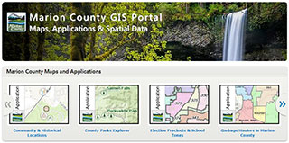
Marion County GIS Applications:
Marion County's GIS Program provides support for our users of spatial data and technologies. Within the county, we maintain an enterprise GIS data model, allowing users to connect and share content across the departments. Our primary mission is to maintain and serve current, accurate and authoritative spatial data in support of the activities of Marion County.
